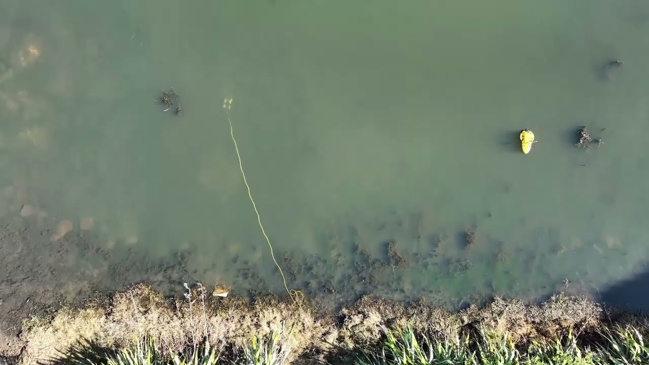
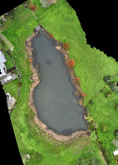
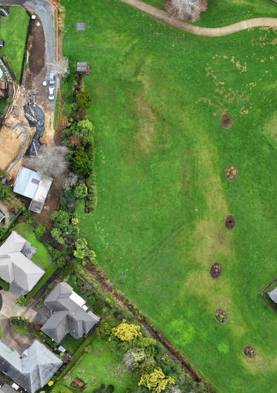
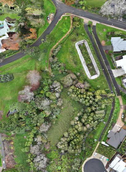
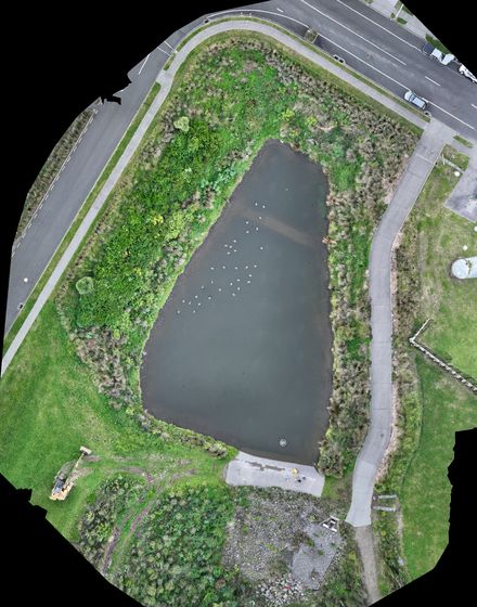
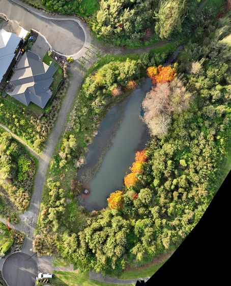
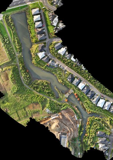
Bathymetry of 26 lakes
High-resolution depth surveys across 26 Waikato lakes with autonomous boats carrying multibeam and single-beam sonar — supporting sediment analysis, habitat mapping and long-term lake management.
Case study → Company Profile 2026
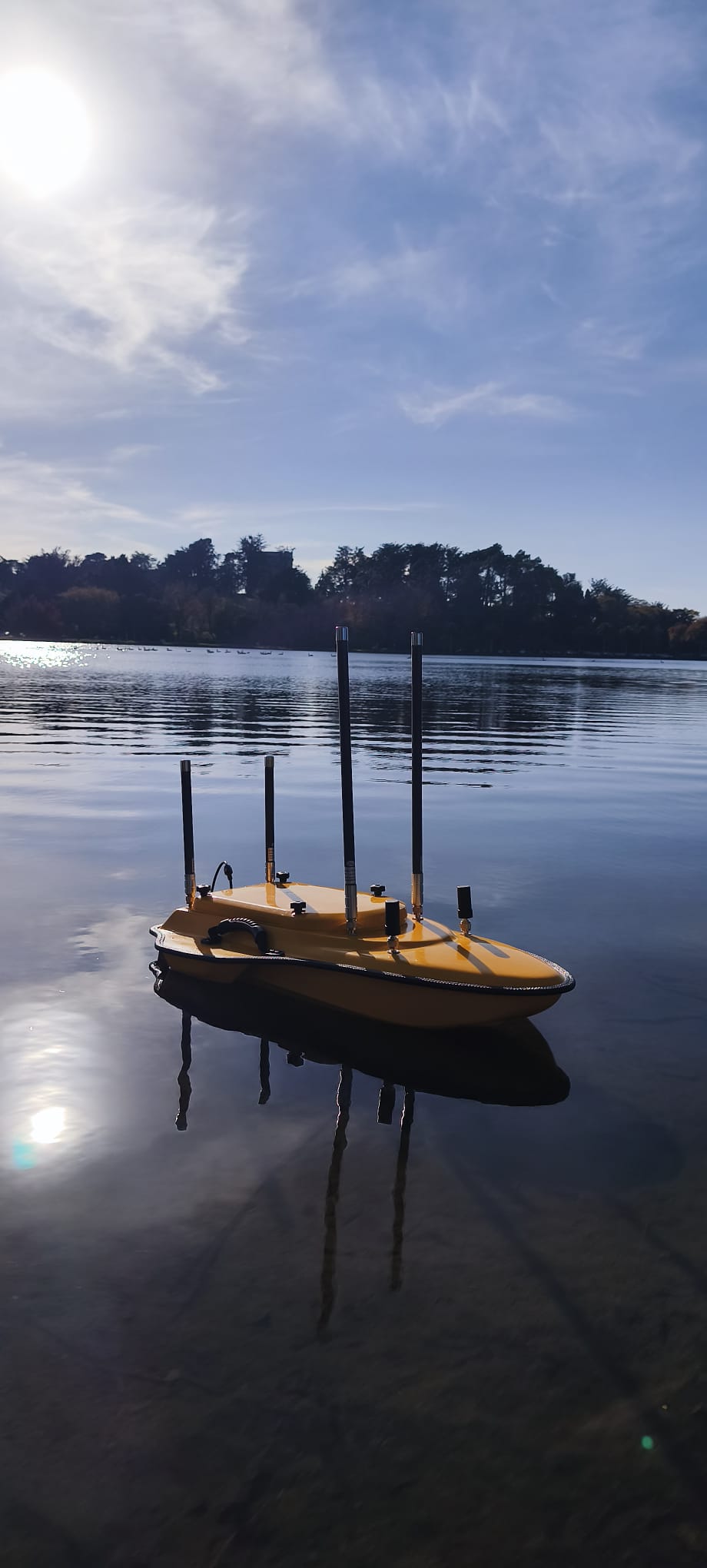
Autonomous survey · Underwater inspection · Environmental monitoring · IoT & custom technology
Use the arrows, swipe, or click the page edge to turn
www.maki.nz · Waikato, New Zealand
Inside
This profile is interactive: play the videos, spin the 3D pond model, and follow the links to full case studies.
About us
MĀKI is a New Zealand engineering technology company, founded in 2020 and based in the Waikato.
Our team of six designs, builds and operates autonomous systems — uncrewed survey boats (USVs), underwater ROVs, ground rovers, drones and IoT sensor networks — and turns the data they collect into answers for councils, utilities, contractors and researchers.
Most companies are strong in hardware or software. We do both in-house: mechanical, electronic and communications engineering alongside our own control software, data platforms and AI. That's why we can build the right tool for a job rather than make the job fit the tool.
Our mission is to make cutting-edge engineering technology accessible to the organisations that manage New Zealand's natural and built environments — capturing data safely, efficiently and in places people shouldn't have to go.
At a glance
Since 2020 we've surveyed and inspected lakes, harbours, reservoirs and stormwater assets for clients across New Zealand, from Auckland to the West Coast. A few highlights:
Capabilities
From concept to deployment, every MĀKI system is built to work reliably in challenging environments — on the water, under it, and beyond.
Our fleet
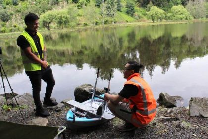 HydromapAutonomous bathymetry USV
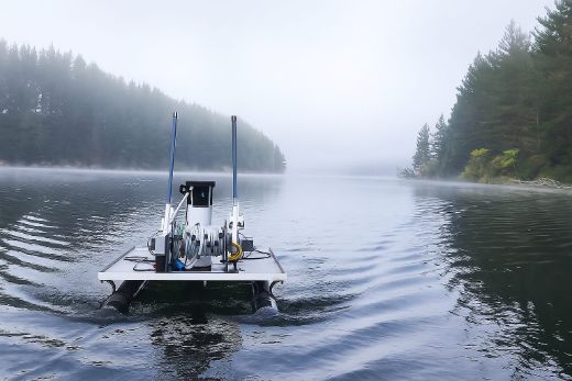 HydrohubSampling, monitoring & bathymetry USV
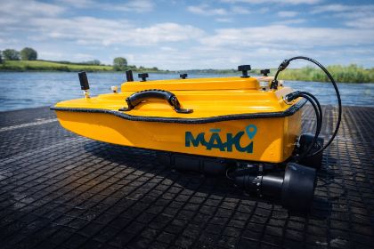 SludgeScanDual-frequency & multibeam sediment USV
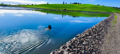 MicroScanCompact sonar boat for tight, shallow sites
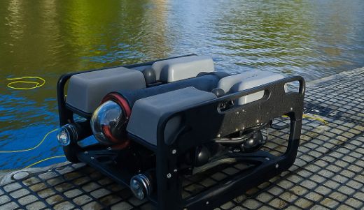 DeepView ROVUnderwater inspection with live video
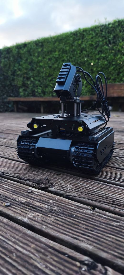 RoverGround vehicle for confined spaces
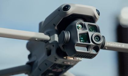 AeroMapRTK drone for 3D mapping
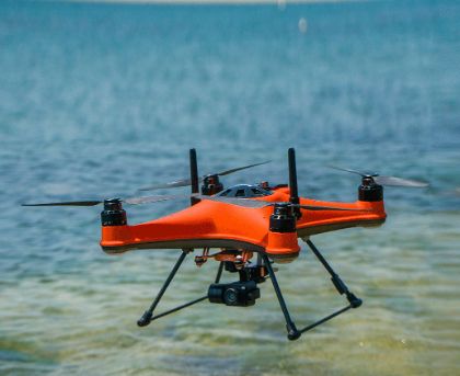 SkyDropWaterproof water-sampling drone
Survey & mapping
Multibeam and single-beam sonar, RTK positioning and drone photogrammetry, combined into one accurate picture of the site — processed into depth maps, elevation models and 3D outputs tailored to what you need to decide.
Services: Bathymetry · Topography · Stormwater ponds
Inspection · Monitoring · IoT
Our ROV and rover inspect reservoirs, ponds, culverts, outlets and structures with live HD video — no draining, no divers, no confined-space entry.
Our sampling vessel profiles the water column with a precision winch: chlorophyll-a, phycocyanin, turbidity, DO, pH and temperature, plus 3 L samples from up to 15 m deep.
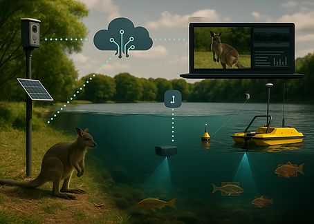
Solar-powered AI cameras detect pest animals such as wallabies at the edge, in remote places with little power or signal. Data flows to live dashboards and alerts.
More: Reservoir inspection · Environmental monitoring · Solutions
Process
One team from the first call to the final data — no hand-offs between a hardware supplier, a survey crew and a data processor.
We review the site with you, agree the outputs you need, and choose the platform and method that fit — not the one we happen to own.
Our operators deploy the USV, ROV, rover or drone with RTK positioning, working to our SHE Pre-Qual safety system. No divers, no confined-space entry.
Sonar, imagery and sensor data are processed in-house into depth maps, sediment volumes, cross-sections and 3D models.
Clear reports, GIS-ready data and, where it helps, an interactive 3D portal — with the confidence in every figure shown, not hidden.
Standards
Robots take the risk out of the job — and we hold ourselves to the standards councils and utilities expect of any contractor on their sites.
Case studies
A selection of recent projects for New Zealand councils, utilities and contractors.
These case studies show some of our work, not all of it — many other projects for clients across New Zealand aren't featured here.
Case study · Western Bay of Plenty District Council
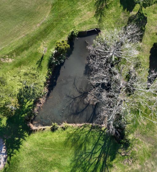
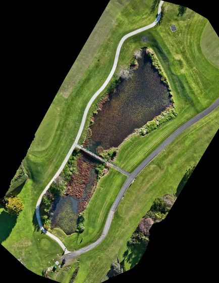
The council needed to know how much water and sediment its Ōmokoroa stormwater ponds and wetlands hold, to plan and prioritise maintenance. Between June and August 2026 MĀKI surveyed eleven of them, matching the method to each site: multibeam sonar, sonar boat surveys, and RTK staff shots where a pond was too shallow or overgrown for a boat.
Each pond was delivered as a survey report plus a private online portal: a 3D model of ground, water and sediment, with a cross-section tool the council's engineers can use themselves. Every pond also shows how much of it lies close to a real measurement — so they know how far to trust each figure.
Interactive demo
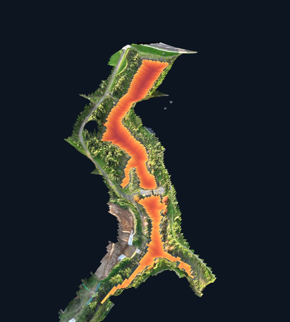
Demo data: the pond bed and depths in this model are illustrative, not survey results. Clients receive full-resolution models and figures in their own private portal. Read the case study →
Case study · Buller District Council
Inspecting a drinking-water reservoir normally means taking it out of service: isolating it, draining it, gas-testing the air and sending someone into a confined space.
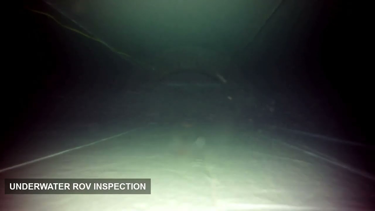
For Buller District Council, MĀKI inspected the reservoir in Westport with the water left in it. Our ROV surveyed the inside of the reservoir underwater, while our rover carried out the inspection on top of the reservoir — together giving the council a full visual record of the asset.
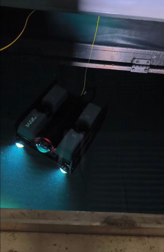
Buller District Council · Westport
Read more: Full case study · Reservoir inspection service
Case study · Auckland Council · Glasgow Contractors
With Glasgow Contractors, on behalf of Auckland Council's Healthy Waters and Flood Resilience department, MĀKI completed a detailed bathymetric and topographic survey at Hobsonville Point on a tight timeframe.
Our pilot drove MĀKI's in-house USV, fitted with multibeam sonar, underneath the jetty — a confined space that crewed survey boats struggle to reach. An RTK drone captured the exposed coastal structures and surrounding land, and the two datasets were combined into one integrated 3D model.
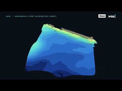
Auckland Council · Hobsonville Point
Read more: Full case study · Bathymetry service
Case studies · Waikato Regional Council
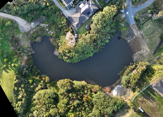
High-resolution depth surveys across 26 Waikato lakes with autonomous boats carrying multibeam and single-beam sonar — supporting sediment analysis, habitat mapping and long-term lake management.
Case study →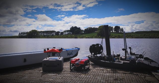
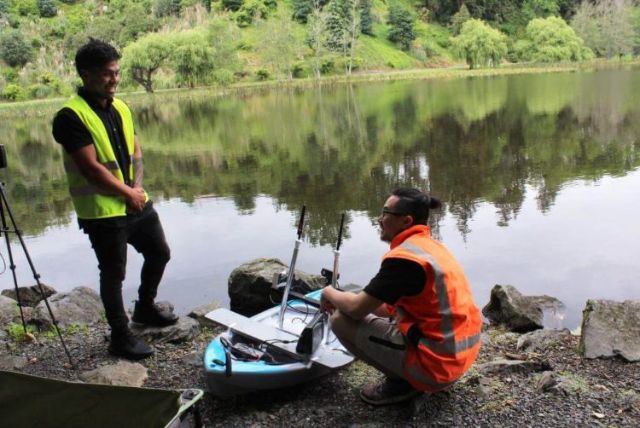
During cyanobacteria blooms our autonomous boat measured six parameters, including phycocyanin, across whole lakes and collected samples at set depths by winch — with no staff on the water.
Case study →Case studies · Ōtorohanga District Council
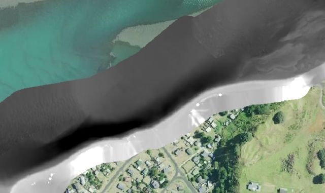
USV sonar below the water and drone photogrammetry above it, merged into one 3D dataset — including the geometry of the harbour's stone wall for engineering use.
Case study →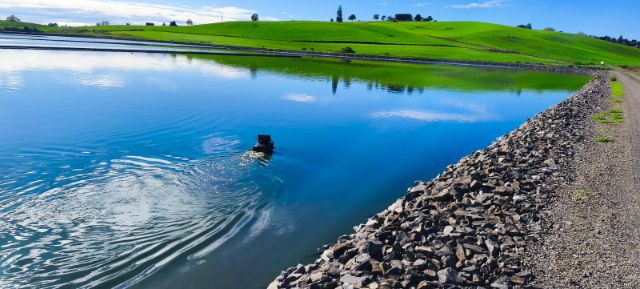
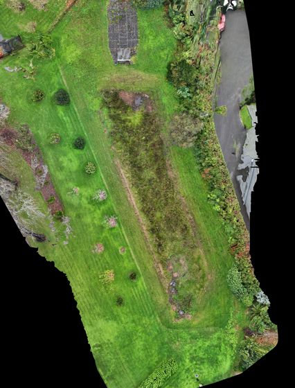
Sediment scanning of settling ponds in Ōtorohanga town centre, giving the council sediment volumes and 3D models to plan maintenance before capacity runs out.
About settling-pond mapping →Case study · Lake Ngaroto, Waipā
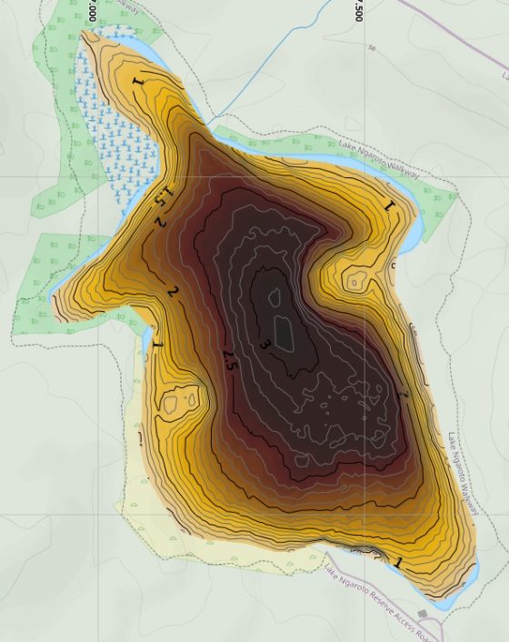
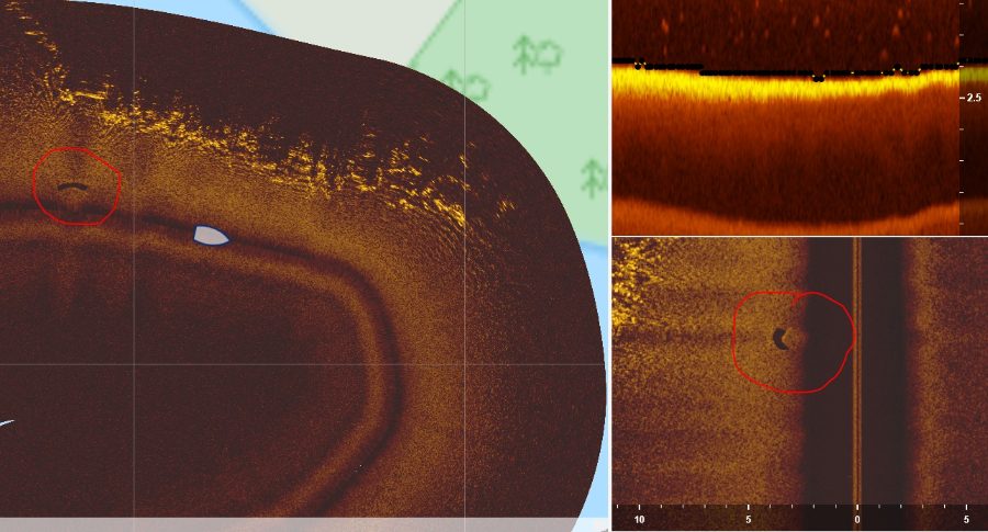
A full bathymetric and side-scan sonar survey of Lake Ngaroto from MĀKI's autonomous inflatable e-kayak — producing a complete depth map, a 3D lake model and a side-scan mosaic of the lake floor.
More projects · Dutton Stormwater
Working alongside Dutton Stormwater, MĀKI used an ROV to inspect submerged stormwater infrastructure without anyone entering the water — recording footage for further assessment.
The same approach suits ponds, culverts, outlets and other submerged structures.
Research & collaboration
We work with regional councils, universities and industry partners to develop and validate new technology for environmental monitoring and automation.
Through partnerships with organisations such as Waikato Regional Council and Auckland University of Technology, our engineering and software teams contribute to studies in autonomous sampling, IoT integration and AI-based sensing.
We welcome new research and development partnerships that combine scientific insight with engineering innovation.
Development roadmap
A USV that acts as an "aircraft carrier" for a drone and an ROV. Solar and hybrid power keep all three charged for long missions; the drone returns to its dock to recharge, and the ROV deploys from the boat's central bay — operated wirelessly, with no one needed on the vessel.
A robotic crawler for wet or submerged pipes, with LiDAR, sonar and HD cameras. SLAM positioning works without GPS to build 3D point clouds and digital twins for defect finding and asset management.
Clients & partners








Contact us
We welcome enquiries from councils, utilities, contractors and research institutions — for a one-off survey, an ongoing monitoring programme, or a custom system.
Get a quote
Got a challenge in land, air or water?
www.maki.nz
MĀKI · Waikato, New Zealand · info@maki.nz · +64 20 4194 1275