Stormwater Ponds
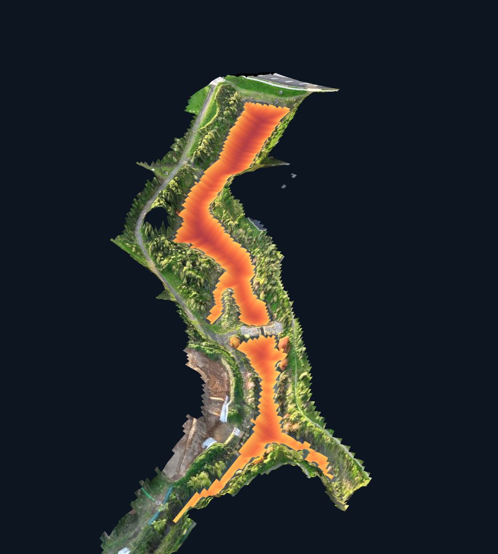
Western Bay of Plenty District Council needed to know how much water and sediment its Ōmokoroa stormwater ponds and wetlands hold, so it could plan and prioritise maintenance across the network. Between June and August 2026 MĀKI surveyed eleven council ponds and wetlands and delivered a survey report for each, together with a private online portal where the council's engineers can explore every pond in 3D.
The eleven sites were very different: open ponds deep enough for a survey boat, shallow swales, overgrown wetlands, and basins that hold little standing water between storms. A single survey method would either miss the hard sites or over-spend on the easy ones — and the council needed figures it could compare across the whole set.
The right method for each pond. Multibeam sonar on the pond that needed the most detail, sonar boat surveys on the open-water ponds, and RTK staff shots where a pond was too shallow or overgrown for a boat. Survey density varied a lot from site to site, and the deliverables say so.
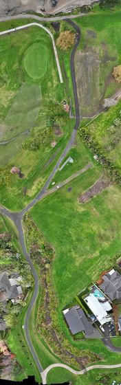
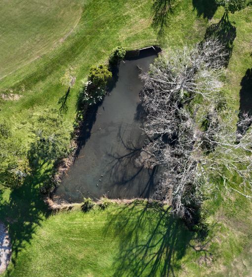
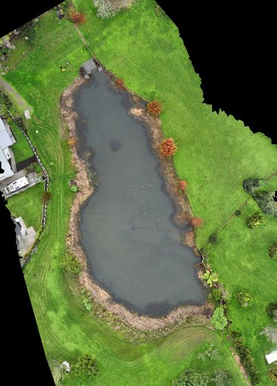
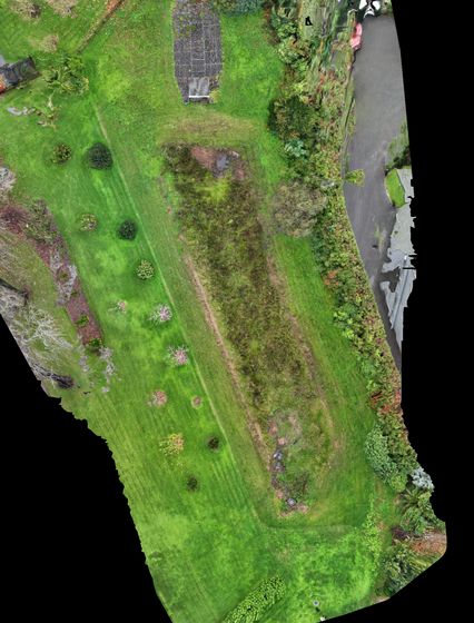
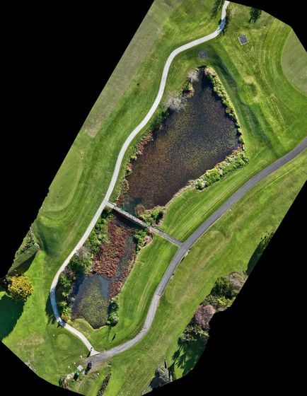
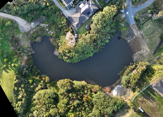
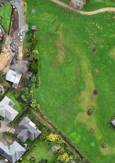
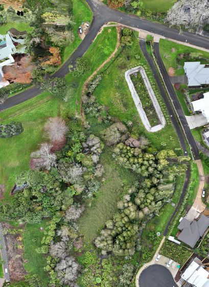
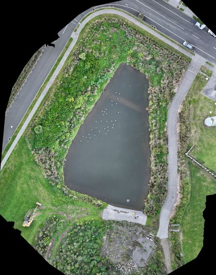
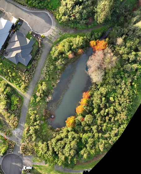
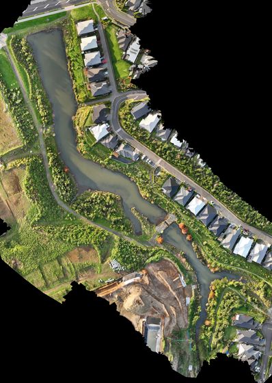
Drone mapping above the water. Each site was photographed from the air, so the surveyed surfaces could be draped with a georeferenced photo of the pond and its surroundings.
Ground, water and sediment surfaces. For each pond we modelled the ground, the water surface on the day and, where measured, the sediment and the firmer base beneath it — giving water volume, sediment volume and storage to spill level.
Honest confidence. Every pond shows how much of its area lies close to an actual measurement, so engineers can see at a glance which figures are firm and which are indicative.
Survey figures are estimates for planning and prioritising. Pricing sediment removal needs a targeted probe or core survey of the pond concerned.
This short demo shows the approach we use on ponds and wetlands: bathymetry, sediment mapping, drone survey and spot measurements combined.
We'll match the method to each site and give you figures you can compare across your whole network — usually a morning on site per pond.
Get a quote