In recent years, bathymetry mapping has emerged as an essential tool across various fields, particularly in managing settling ponds. This year, our business has shifted its focus to include mapping treatment plants and settling ponds. This shift is critical as it allows owners and operators to evaluate their operations effectively, saving both time and resources.
Understanding Bathymetry Mapping
Bathymetry mapping refers to the measurement of underwater depths in lakes, rivers, and settling ponds. It reveals important information about the underwater landscape, such as depth contours and sediment distribution. Traditionally, bathymetry was used for navigation and environmental research. However, its application has now become vital for settling pond management.
Settling ponds function to treat water by allowing particles to settle out of the liquid. Yet, without proper monitoring, these ponds can fill up with sediment. This can lead to overflows, resulting in costly operational issues. Bathymetry mapping serves as a tool to visualise sediment volume and distribution, providing a clearer picture of what needs to be addressed.
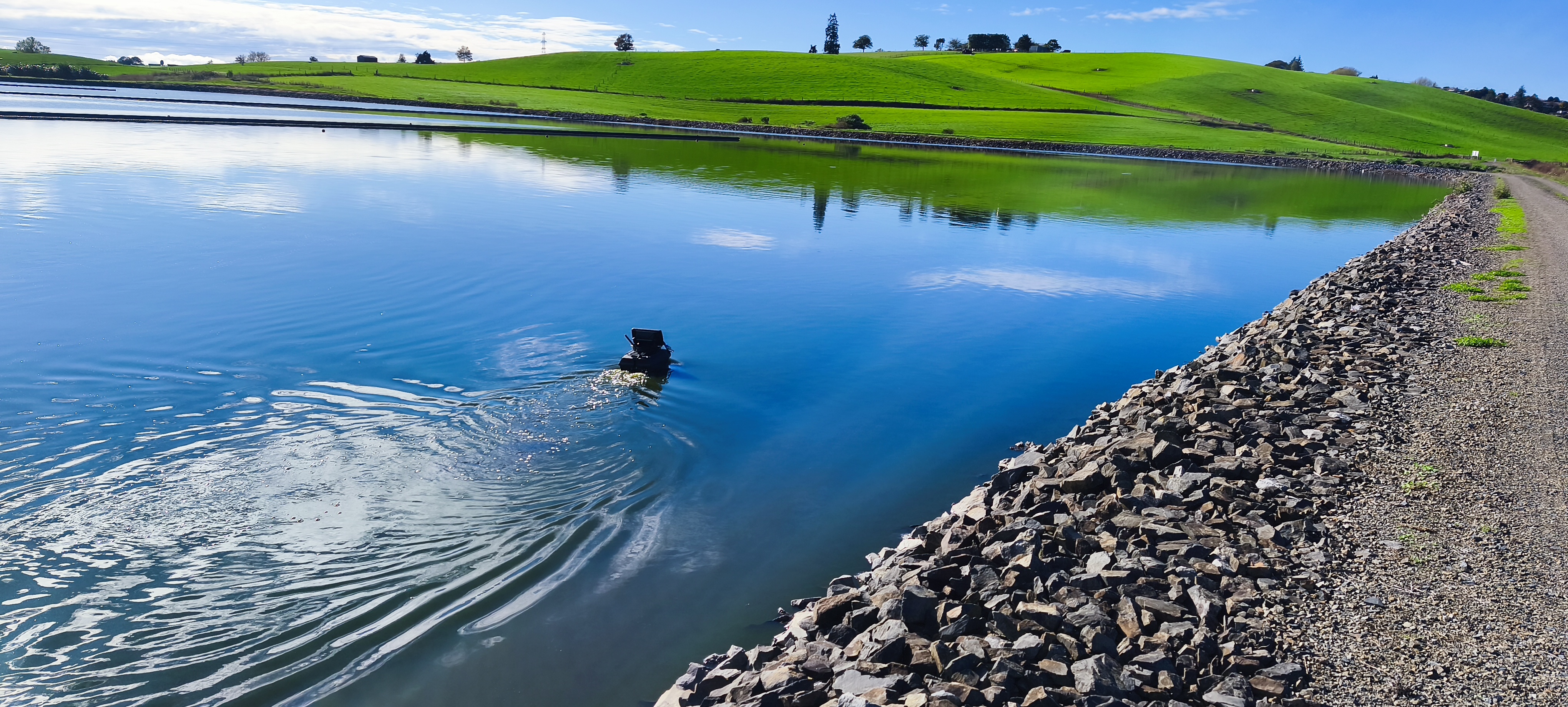
Accurate Monitoring
One of the main benefits of mapping settling ponds is the accuracy it provides. Traditional sediment measurement methods can be cumbersome and lead to errors. Advanced mapping techniques, such as sonar and laser scanning, can yield data with an accuracy level of within a few centimetres. Using bathymetric mapping, operators can identify sediment accumulation spots in real time, allowing them to make informed decisions on maintenance schedules.
Enhanced Decision-Making
Bathymetry data enhances decision-making when managing settling ponds. A case study conducted in a large industrial facility found that integrating mapping data reduced sediment overload incidences by 30%. When data highlights regions with high sediment buildup, operators can target these areas for maintenance, minimising risks of non-compliance with environmental regulations.
Access to reliable data not only boosts efficiency but also helps facility owners make better financial decisions regarding upgrades and maintenance. Investing in specific areas can result in operational savings of up to 20% annually.
Time and Cost Savings
Utilising bathymetry mapping proactively allows owners to bypass costly delays caused by exceeding sediment capacity. A facility that adopted continuous sediment monitoring reported a 25% reduction in maintenance costs within the first year. This not only enhances efficiency but also allows operators to manage their resources more effectively, ensuring maintenance work causes minimal disruption to daily activities.
The Future of Bathymetry in Environmental Management
Emerging technologies, like remote sensing and autonomous underwater vehicles, enable even more detailed data collection. As technology evolves, bathymetry mapping may incorporate artificial intelligence and machine learning — lending insight into sediment accumulation patterns and allowing operators to adapt their management strategies proactively.
The integration of bathymetry mapping into settling pond management signifies a substantial advancement in operational efficiency for treatment facilities. As technology matures, bathymetry mapping will continue to shape how we monitor and manage our aquatic resources more effectively.