Topo-Bathymetric Survey
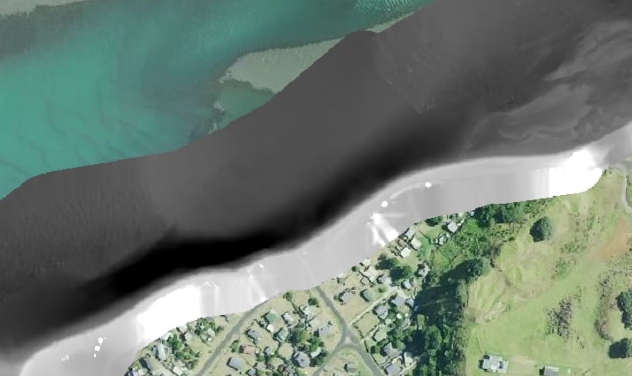
MĀKI completed a combined topo-bathymetric survey of Aotea Harbour for Ōtorohanga District Council. RTK bathymetry captured from the autonomous USV and drone photogrammetry from above were fused into a single seamless 3D dataset covering both the underwater channel depth profile and the above-water stone wall structure — providing the council with a complete spatial picture of this coastal asset.
Aotea Harbour is a significant coastal asset within the Ōtorohanga district, featuring a historic stone wall structure and a tidal channel subject to ongoing sedimentation. The council required accurate survey data to support engineering assessment of the stone wall, understand channel depth for navigation management, and establish a baseline for future monitoring of sediment accumulation and coastal change.
The site's tidal nature and the presence of a submerged structure made it unsuitable for conventional survey approaches, which would typically require separate underwater and above-water surveys — adding cost and producing datasets that were difficult to integrate.
MĀKI deployed two platforms simultaneously to capture the full extent of the survey area. The autonomous USV conducted RTK bathymetric survey lines across the channel, collecting georeferenced depth readings at centimetre-level accuracy using GNSS and single-beam sonar. Above the waterline, a drone captured overlapping aerial imagery that was processed using photogrammetry software to produce a high-resolution point cloud and orthophoto of the stone wall and surrounding intertidal zone.
The two datasets were registered to the same coordinate system and merged into a single unified 3D model, eliminating the gap that typically exists between above-water and below-water survey data at the waterline boundary.
The merged dataset gave Ōtorohanga District Council an accurate, current baseline of the harbour's underwater and above-water geometry — supporting engineering assessment of the stone wall structure, coastal asset management planning, and future change detection surveys.
Talk to the MĀKI team about surveying your coastal or freshwater assets.
Get in touch