Waikato Regional Council
Lakes Bathymetric Mapping Programme
MĀKI is contracted to conduct bathymetric mapping of lakes across the Waikato region for the Waikato Regional Council. Using in-house autonomous surface vessels, the programme provides reliable depth data to support lake management, monitoring and restoration planning.
Read case study →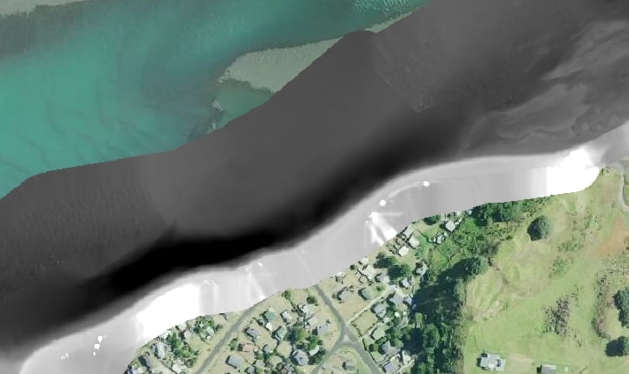
Ōtorohanga District Council
Aotea Harbour Survey
MĀKI completed a combined topo-bathymetric survey of Aotea Harbour for Ōtorohanga District Council. RTK bathymetry from the autonomous USV and drone photogrammetry were merged into a single 3D dataset covering the channel depth profile and stone wall structure — supporting engineering assessment and coastal asset management.
Read case study →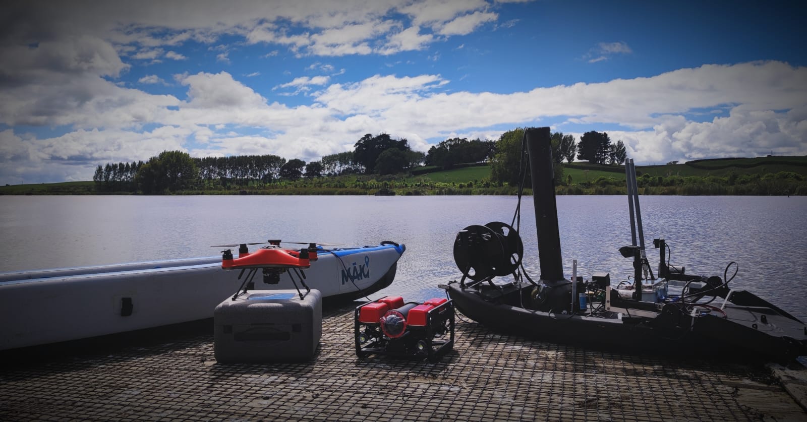
Waikato Regional Council
Autonomous Monitoring During Algae Bloom Events
During summer 2024–2025, MĀKI deployed the autonomous MĀKI Boat V2 across multiple Waikato lakes to collect water quality data and physical samples during cyanobacteria bloom events. Autonomous deployment eliminated the safety risks of manual sampling in hazardous bloom conditions, while providing spatially comprehensive data unavailable from point sampling.
Read case study →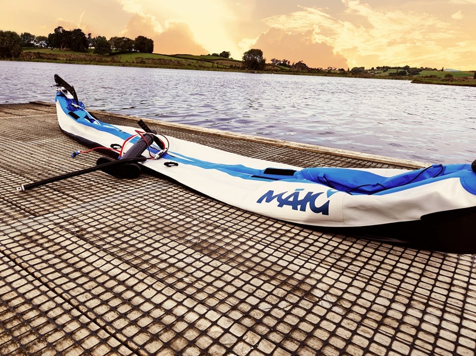
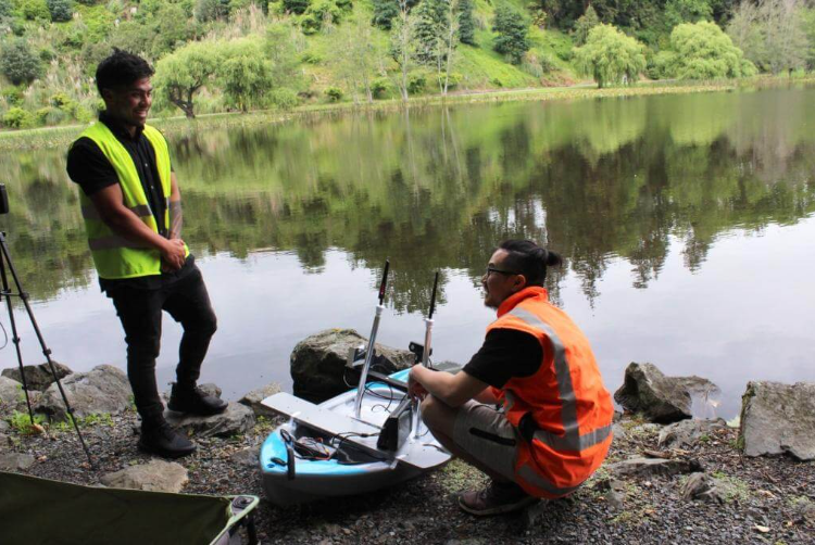
Lake Ngaroto Field Survey
Ngaroto Lake Bathymetric & Side-Scan Survey
MĀKI conducted a 3-day bathymetric and side-scan sonar survey of Lake Ngaroto — a 108-hectare Waipa peat lake with motorboat restrictions. Using an autonomous inflatable e-kayak with CHIRP MEGA SI sonar, the team produced a complete depth map, 3D model and side-scan imagery revealing underwater features including a 55-metre structure of unknown origin.
Read case study →Want to discuss a similar project?
Get in touch to talk through your requirements, and find out how MĀKI can help.
Get in touch