Sediment Analysis
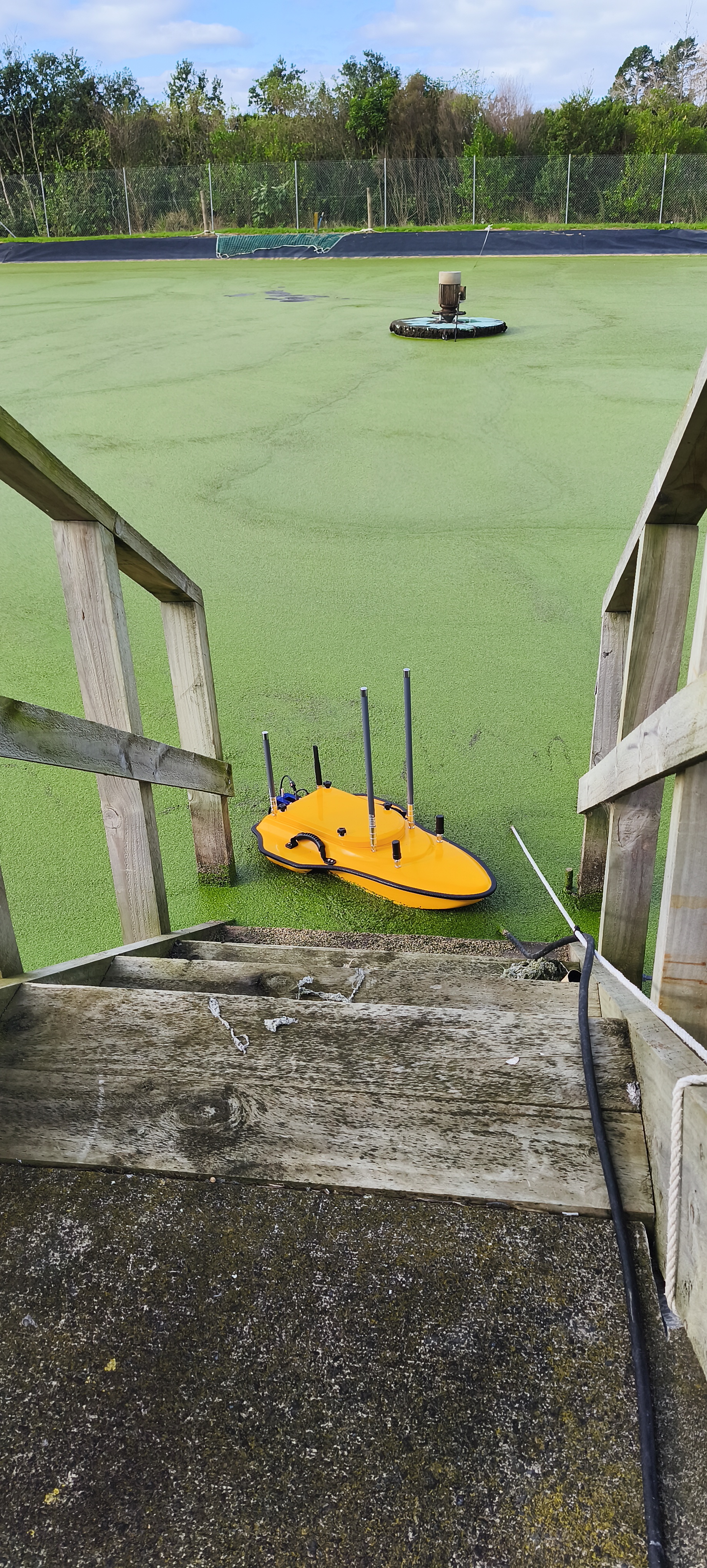
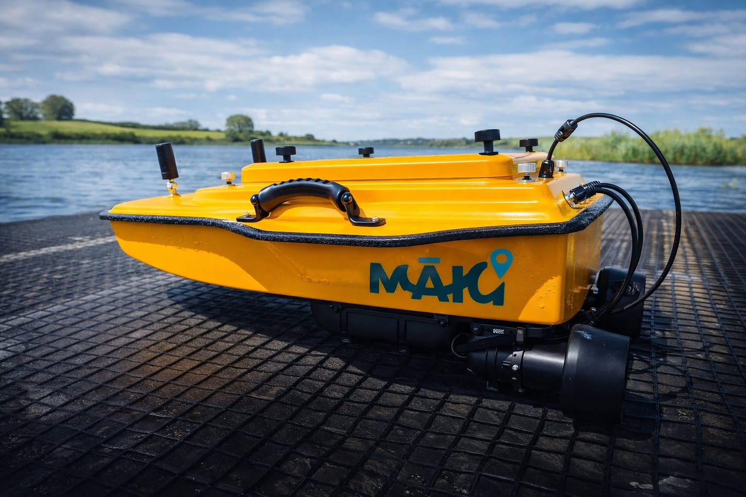
MĀKI conducted sediment volume and distribution surveys across stormwater and wastewater treatment ponds using an autonomous surface vessel equipped with dual-frequency sonar. The sonar's low-frequency signal penetrated through the water column to the sediment layer beneath, producing precise 3D maps of sediment depth and volume across each pond — giving asset managers the data they needed to plan desludging operations and assess pond performance.
Stormwater retention ponds and wastewater treatment ponds accumulate sediment over time, reducing their effective storage volume and treatment capacity. If left unmanaged, sediment build-up can compromise pond performance, lead to consent compliance issues, and ultimately require costly remediation works.
Asset managers need to know how much sediment has accumulated, where it is concentrated, and how urgently intervention is required — but conventional methods of assessing sediment levels typically require dewatering the pond or deploying manual probes at a limited number of sample points. Neither approach provides the spatial resolution needed to make confident decisions about desludging scope and timing, and both are costly and disruptive to operations.
MĀKI deployed an autonomous surface vessel fitted with a dual-frequency sonar system. The high-frequency signal measured the water depth to the surface of the sediment layer, while the low-frequency signal penetrated through the soft sediment to the original hard pond floor beneath. The difference between the two returns provided a precise measurement of sediment thickness at each survey point across the pond.
The vessel completed systematic transect lines across the full extent of each pond, collecting georeferenced sediment measurements at high spatial resolution. This data was processed into 3D sediment distribution maps and volume calculations, showing exactly where sediment had accumulated, at what depth, and in what total volume — all without the pond needing to be taken offline.
The surveys gave asset managers a complete, spatially accurate picture of sediment conditions across their pond systems — enabling targeted, evidence-based desludging rather than guesswork. The data directly informed maintenance scheduling, contractor briefings and asset management planning, reducing the risk of over- or under-investment in pond remediation works.
Talk to MĀKI about autonomous sediment surveys for stormwater or wastewater treatment ponds.
Get in touch